
admin
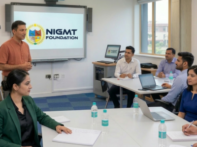
Corporate Training Program
In this course, We'll learn how to create websites by structuring and styling your pages with HTML and CSS.

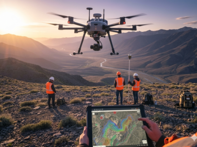
1 Week Certification in Drone DGCA Certification
In this course, We'll learn how to create websites by structuring and styling your pages with HTML and CSS.
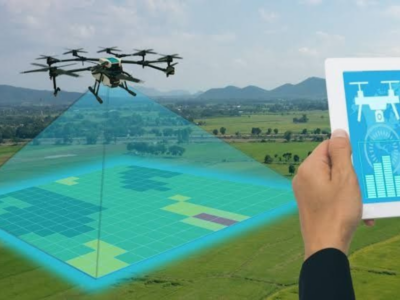
1 Month Certification Program in Drone Data Processing
In this course, We'll learn how to create websites by structuring and styling your pages with HTML and CSS.

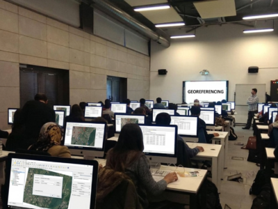
3 Months Certification Program 2 Technologies ((Advance GIS+ Python)
In this tutorial we will provide you with detailed instructions on how to use WordPress to create and manage your site. WordPress can be used...
3 Months Certification Program 2 Technology (GIS & Drone Advance Program)
In this course, We'll learn how to create websites by structuring and styling your pages with HTML and CSS.
🎓 M.Sc in Geoinformatics (1 Year – Lateral Entry)
(GIS & Remote Sensing Technology) 📍 Eligibility: Candidates who have completed a Diploma in Geoinformatics can apply. In-depth learning of modern geospatial technologies 80–85% focus...
🎓 M.Sc in Geoinformatics (2 Years – Full Time)
(GIS & Remote Sensing Technology) 🔹 Program Highlights: Coverage of advanced geospatial technologies 80–85% practical, hands-on training Live interactive classes with recording access Research-oriented and...

🎓P.G. Diploma in Geoinformatics (1 Year – Full Time)
A WordPress LMS Plugin to create WordPress Learning Management System. Turn your WP to LMS WordPress with Courses, Lessons, Quizzes & more.

P.G. Diploma in Drone Technology (1 Year – Part Time)
This tutorial will introduce you to PHP, a server-side scripting language you can use to make dynamic websites and web applications.

P.G. Diploma in Geoinformatics (1 Year – Full Time)
The jQuery team knows all about cross-browser issues, and they have written this knowledge into the jQuery library. jQuery will run exactly the same in...

🎓 M.Tech in Remote Sensing (2 Years – Campus Program)
In this course, We'll learn how to create websites by structuring and styling your pages with HTML and CSS.
M.Tech in Remote Sensing (3 Years – Part Time Program)
Many of the most powerful, memorable and effective photographs are black and white images. With digital photography though you can no longer take a great...

🎓M.Sc in Geoinformatics (2 Years – Campus Program)
Photography Masterclass: Your Complete Guide to Photography. The Best Selling Online Professional Photography Class: How to Take & Sell Photos.
🎓P.G. Diploma in RS & GIS (1 Year – Full Time)
Photography Masterclass: Your Complete Guide to Photography. The Best Selling Online Professional Photography Class: How to Take & Sell Photos.
🎓P.G. Diploma in RS & GIS (1 Year – LMS Program)
Build and deploy a few Nodejs, MongoDB & Expressjs apps while watching to lectures by the author of 9 books on JS/Node.

🎓M.Sc in Geoinformatics (2 Years – Full Time)
Lorem Ipsum is simply dummy text of the printing and typesetting industry. Lorem Ipsum has been the industry's standard dummy text ever since the 1500s,...
🎓M.Sc in Geoinformatics (2 Years – LMS Program)
Interchange now enables HTML partials for device specific content. Smoother animations and transitions happen with hardware acceleration. The default styles are all updated.

🎓P.G. Diploma in Geoinformatics (1 Year – Full Time)
Sass is completely compatible with all versions of CSS. We take this compatibility seriously, so that you can seamlessly use any available CSS libraries.
1 Year PGP Diploma in Geoinformatics
Less is a CSS pre-processor, meaning that it extends the CSS language, adding features that allow variables, mixins, functions and many other techniques that allow...
Dual P.G. Diploma in Geoinformatics
This tutorial is specially designed to help you learn AngularJS as quickly and efficiently as possible.