Corporate Training Program
In this course, We’ll learn how to create websites by structuring and styling your pages with HTML and CSS.
Overview
For Working Professionals & Organizations
🔹 Program Overview:
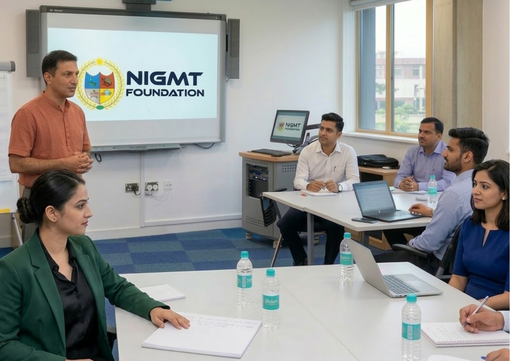
Our Corporate Training Program is specially designed for working professionals, government departments, PSUs, and private organizations seeking to upgrade technical expertise in Geospatial Technologies. The training is practical, customized, and aligned with real industry requirements.
🔹 Program Highlights:
- Customized Curriculum Based on Organizational Needs
- Advanced Training in GIS, Remote Sensing, LiDAR, Photogrammetry & Surveying
- Hands-on Practical Sessions with Real-Time Data
- On-site / Online / Hybrid Training Modes
- Industry-Experienced Certified Trainers
- Flexible Scheduling for Working Professionals
- Corporate Certification & Skill Assessment
- Fees and duration will be finalized after discussion or based on the candidate’s specific requirements.
📍 Ideal For: Working professionals, engineers, planners, surveyors, researchers, and technical teams who want to upgrade their skills, improve productivity, and stay competitive in the evolving geospatial industry.
Course Features
- Duration 9 hours
- Activities Professtional Certification Program
Instructor

You May Like

1 Week Certification in Drone DGCA Certification
In this course, We'll learn how to create websites by structuring and styling your pages with HTML and CSS.
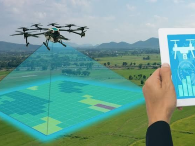
1 Month Certification Program in Drone Data Processing
In this course, We'll learn how to create websites by structuring and styling your pages with HTML and CSS.

3 Months Certification Program 2 Technologies (Advance GIS+ Python)
In this tutorial we will provide you with detailed instructions on how to use WordPress to create and manage your site. WordPress can be used...
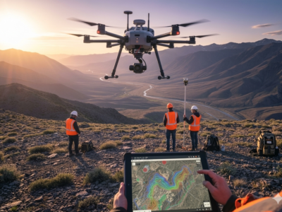
3 Months Certification Program 2 Technology (GIS & Drone Advance Program)
In this course, We'll learn how to create websites by structuring and styling your pages with HTML and CSS.
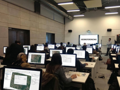
🎓 M.Sc in Geoinformatics (1 Year – Lateral Entry)
(GIS & Remote Sensing Technology) 📍 Eligibility: Candidates who have completed a Diploma in Geoinformatics can apply. In-depth learning of modern geospatial technologies 80–85% focus...
Course Features
- Lecture 0
- Quiz 0
- Duration 9 hours
- Skill level All levels
- Language English
- Students 7
- Assessments Yes