3 Months Certification Program 2 Technology (GIS & Drone Advance Program)
In this course, We’ll learn how to create websites by structuring and styling your pages with HTML and CSS.
Overview
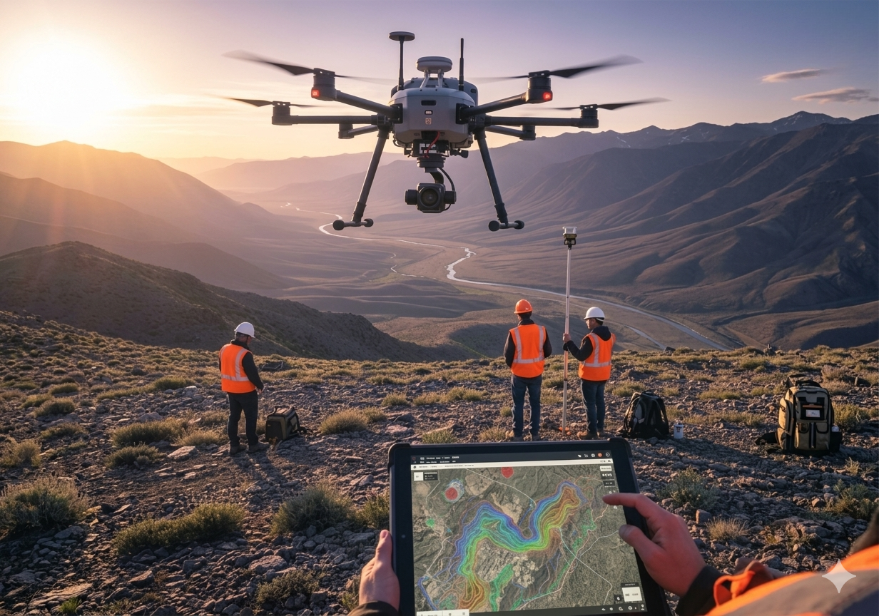
3MP Geographic Information System + Drone Advance Program
🔹 Program Highlights:
- 2 Advanced Geospatial Technologies Covered
- 1 Month of Hands-on Live Project Training
- 100% Placement Assistance
📍 Ideal For: Graduates, Post Graduates, job seekers, research scholars, and working professionals who want to quickly gain practical skills in GIS, Remote Sensing, LiDAR, Digital Photogrammetry technologies and enhance their career prospects in the Geospatial industry.
Course Features
- Duration 9 hours
- Activities Professtional Certification Program
Instructor

You May Like
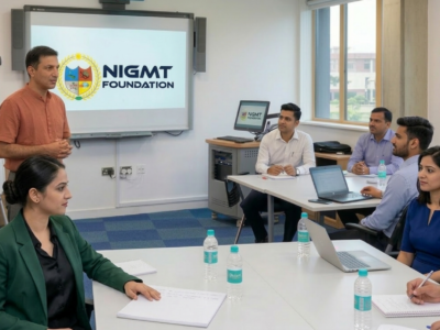
Corporate Training Program
In this course, We'll learn how to create websites by structuring and styling your pages with HTML and CSS.

1 Week Certification in Drone DGCA Certification
In this course, We'll learn how to create websites by structuring and styling your pages with HTML and CSS.
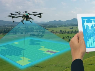
1 Month Certification Program in Drone Data Processing
In this course, We'll learn how to create websites by structuring and styling your pages with HTML and CSS.

3 Months Certification Program 2 Technologies (Advance GIS+ Python)
In this tutorial we will provide you with detailed instructions on how to use WordPress to create and manage your site. WordPress can be used...
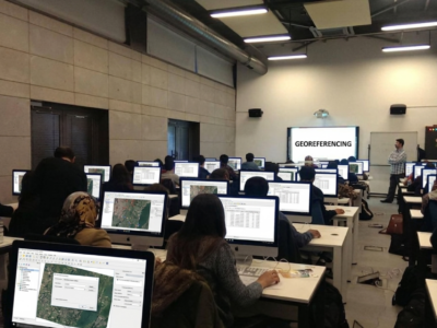
🎓 M.Sc in Geoinformatics (1 Year – Lateral Entry)
(GIS & Remote Sensing Technology) 📍 Eligibility: Candidates who have completed a Diploma in Geoinformatics can apply. In-depth learning of modern geospatial technologies 80–85% focus...
Course Features
- Lecture 0
- Quiz 0
- Duration 9 hours
- Skill level All levels
- Language English
- Students 7
- Assessments Yes