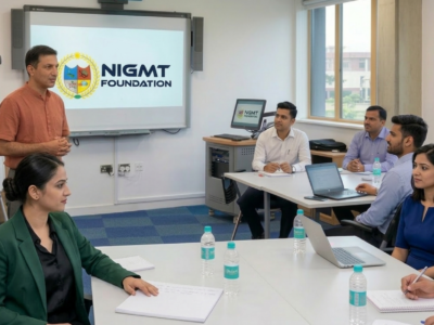
6 Months Diploma In Geoinformatics
HTML is the language of choice for structuring and presenting content for the World Wide Web. In this free online course you will learn about the latest features of HTML 5 including Geolocation, video, Web worker, canvas/SVG, app cache and database.

Overview
(GIS & Remote Sensing Technology)
🔹 Program Highlights:
- 4 Advanced Geospatial Technologies Covered
- 4 Months of Comprehensive Training
- 2 Months of Hands-on Live Project Training
- Opportunity to Work on Real Live Projects
- 100% Placement Support
📍 Ideal For: Post Graduates, and working professionals who want to quickly build strong technical skills and start a successful career in GIS, Remote Sensing, and Geospatial Technologies.
Curriculum
Instructor
You May Like
Corporate Training Program
In this course, We'll learn how to create websites by structuring and styling your pages with HTML and CSS.

1 Week Certification in Drone DGCA Certification
In this course, We'll learn how to create websites by structuring and styling your pages with HTML and CSS.
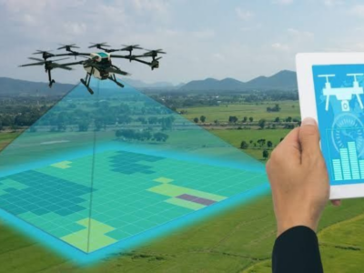
1 Month Certification Program in Drone Data Processing
In this course, We'll learn how to create websites by structuring and styling your pages with HTML and CSS.

3 Months Certification Program 2 Technologies ((Advance GIS+ Python)
In this tutorial we will provide you with detailed instructions on how to use WordPress to create and manage your site. WordPress can be used...

3 Months Certification Program 2 Technology (GIS & Drone Advance Program)
In this course, We'll learn how to create websites by structuring and styling your pages with HTML and CSS.

Course Features
- Lecture 0
- Quiz 0
- Duration 15 hours
- Skill level All levels
- Language English
- Students 7
- Assessments Yes